The Perito Moreno Glacier

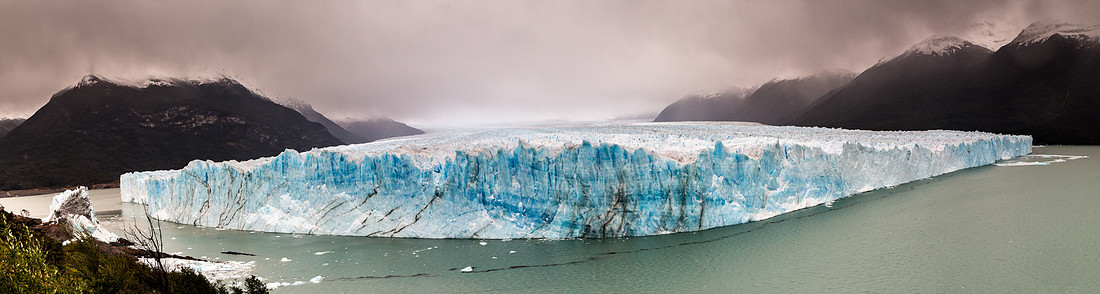
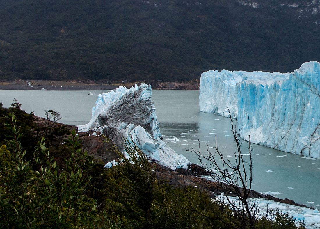
The Perito Moreno Glacier is one of 48 glaciers fed by the Southern Patagonian Ice Fields located in the Andes in Argentina. This ice field is the world's third largest reserve of fresh water, following Antartica and Greenland. While most glaciers worldwide are retreating, this one is advancing. The terminus is 3.1 miles wide with as average height of 240 feet above the water level. It has a total ice depth of 559 feet. The first picture is a panorama of 10 separate exposures stitched together. Note the gap on the left side of the first photo. The second one is a closer look.
 We missed viewing a natural ice arch here that collapsed on March 10th (We were there on March 13) causing floods in the nearby town of El Calafante. Pressures from the weight of the ice slowly push the glacier over the southern arm of Argentino Lake, damming the section and separating it from the rest of the lake. With no outlet, the water level on the "Brazo Rico" side of the lake can rise by as much as 30 meters above the level of the main body of Argentino Lake. Intermittently, the pressure produced by the height of the dammed water breaks through the ice barrier causing a spectacular rupture, sending a massive outpouring of water from the Brazo Rico section to the main body of Lake Argentino. As the water exits Brazo Rico, the scored shoreline is exposed, showing evidence of the height of the water build-up. This dam–ice-bridge–rupture cycle recurs naturally between once a year to less than once a decade.
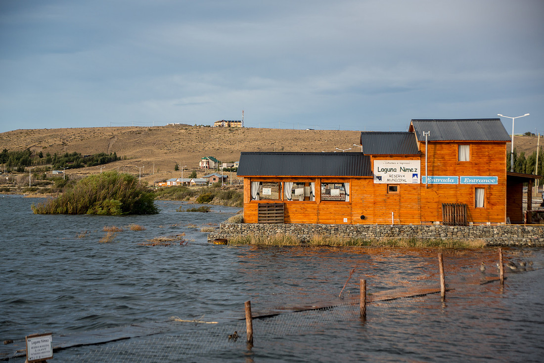
 We went to view the flamingos on Lake Argentino in El Calafate but saw only floods. The lake had risen 4.6 feet
Comments
Great panoramic contains 3 miles wide if the glacier itself. That ice bridge release of Water must have been more than something to witness.
Thanks for sharing.